
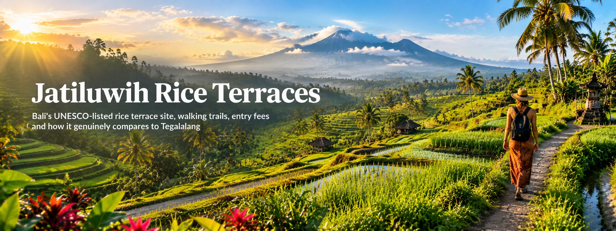
Jatiluwih is one of Bali’s great landscape days, but the view gets much better once you stop treating the terraces as green wallpaper. This is a working agricultural landscape tied to subak water management, temples, farmers and UNESCO recognition.
I would walk rather than just stop at a viewpoint. The scale only really lands when you move through the fields, notice the water channels and see that neighbouring plots can be at completely different points in the rice cycle.
01 What UNESCO actually recognises at Jatiluwih
Jatiluwih is not simply a viewpoint over attractive paddies. It is part of the UNESCO-listed Cultural Landscape of Bali Province, a living agricultural system in which rice terraces, canals, farmers and water temples remain connected through the subak system. UNESCO describes the wider property as a landscape shaped by cooperative water management and the philosophy of Tri Hita Karana, linking people, nature and the spiritual world.
I am fussy about the wording here: Jatiluwih is part of a wider UNESCO cultural landscape, not a stand-alone “UNESCO rice terrace”. That distinction is actually more interesting.
That matters because the landscape is productive, not decorative. Fields change colour, farmers work, irrigation channels are maintained and harvest cycles continue whether visitors are present or not. If you arrive expecting permanently neon-green terraces arranged for photographs, you may misunderstand the place before you even start walking.
Jatiluwih sits within the Subak Landscape of Catur Angga Batukaru, one of the components of Bali’s UNESCO World Heritage property. The inscription is broader than one village and broader than “beautiful rice terraces”. It recognises the relationship between water temples, irrigation, farming communities and landscape management.
02 Subak and water temples make the landscape work
A subak is a farmer-managed irrigation association that coordinates water distribution and agricultural decisions around a shared source. It is not merely a network of ditches. Water allocation, temple ritual, crop timing and community governance are intertwined. Bali has hundreds of these associations, and the system has deep historical roots.
At Jatiluwih, look for canals, weirs and small shrines as carefully as you look at the terraces. The water infrastructure explains why the slopes can be farmed. Our subak guide goes deeper into the history and philosophy.
UNESCO’s inscription emphasises water temples because irrigation and ritual governance are connected. Small shrines within the fields are not decorations placed for tourists. Ceremonies, offerings and temple obligations are part of how communities understand water, fertility and reciprocal relationships.
If you encounter a ceremony, keep to the path and let local activity take precedence. This is one reason a knowledgeable local guide can add more than a generic trekking escort: they can explain why a particular shrine or canal matters rather than simply pointing out photo locations.
03 Rice cycles matter more than a promised “green season”
There is no single guaranteed “green season”. Planting and harvesting can vary between plots because farmers do not all operate on an identical tourism calendar. Newly planted fields can look reflective and silvery, mature rice turns intensely green, and harvest-ready paddies become yellow-gold. After harvest, some plots may be brown or muddy.
There is no guaranteed emerald-green appointment with a rice field. I would rather understand the planting cycle than build a whole trip around somebody else’s old photograph.
That variation is part of the appeal. Photographers often prefer early growth for reflections or mature crops for colour, but the working landscape is interesting at every stage. Weather also matters: cloud can flatten distant mountain views yet produce softer light and dramatic mist.
Newly prepared paddies may be wet and mirror the sky. Young plants create bright, orderly green lines. As rice matures, fields become dense and textured before turning yellow-gold toward harvest. Harvested plots can look rough, dry or muddy while neighbouring terraces remain green.
Those differences make Jatiluwih visually interesting because agriculture is asynchronous at field level. You may also see ducks, farm workers, seedling preparation and maintenance of bunds or channels. Avoid describing a brown field as “ruined” or “out of season”; it may simply be at a different point in the production cycle.
04 Walk, cycle or use a local guide to understand the scale
The landscape makes much more sense on foot than from the roadside. Several colour-coded or locally signposted walking/cycling routes have been used over time, ranging from short loops to longer excursions. Trail names and exact lengths can change, which is why our separate practical Jatiluwih walking guide focuses on current visit logistics.
This is where I slow down. A proper walk turns the terraces from a viewpoint into a landscape with scale, gradients, water and people working inside it.
Even a short walk takes you below the main road, alongside irrigation channels and closer to field-level changes in height. If you only stop at the entrance viewpoint, you see the postcard but miss the system.
Cycling lets you cover a wider agricultural area than a short walk, and e-bikes make rolling terrain accessible to more riders. The downside is that farm roads are shared with scooters, trucks, workers and pedestrians. Wet concrete can be slippery and some descents are steeper than they first appear.
Use an operator that supplies helmets, maintains bikes and matches the route to your ability. A guided ride is particularly useful if you want to leave the most obvious tourist loop without getting lost among village roads.
Local guiding is most valuable when it explains the relationship between individual fields, irrigation, temples and village organisation rather than simply leading you along the same route signs. Ask where the guide is from and what the walk will cover. Even a short interpreted walk can give more context than a much longer self-guided loop if subak is what interests you.
05 Village life, food and whether to stay overnight
Tourism concentrates around the main terrace viewpoints, but Jatiluwih is a village and farming area rather than a single fenced attraction. Homes, temples, small restaurants and agricultural activity extend beyond the classic panorama. Staying overnight reveals a quieter side once day-trippers leave.
Do not wander into private compounds or walk across planted terraces to shortcut between paths. Use established routes and roads. Farmers may be working with machinery, irrigation gates or animals; give them space rather than treating agricultural work as a performance.
Terrace-side restaurants range from simple warungs to polished visitor venues. Many use the view as the main selling point, so check menus and prices before sitting down. A meal is worthwhile because it gives you time to watch light and weather move across the valley rather than treating Jatiluwih as a rushed photo stop.
Rice is obviously central to the landscape, but do not expect every restaurant to serve only hyper-local ingredients. If supporting local production matters, ask what comes from Jatiluwih or nearby farms.
Yes for hikers, photographers and travellers who enjoy quiet rural evenings. Accommodation is limited compared with Ubud, but homestays and small lodges can put you close to the terraces before tour vehicles arrive. Sunset and early morning also give different light from the standard midday visit.
Stay only if the slower pace appeals. Nightlife is minimal, transport options are limited and dinner choices narrow quickly after dark. This is a feature for some travellers and a drawback for others.
06 Responsible tourism now matters more than ever
There is a current conservation reason to take this seriously. In its 2025 state-of-conservation decision, UNESCO noted concern about tourism and development pressure in the Jatiluwih area and described the subak landscape as highly sensitive and fragile. Responsible visiting is not just good manners here; the viability of farming and water management is part of what World Heritage status is meant to protect.
The fields are somebody’s workplace before they are anybody’s Instagram background. Stay on the route and leave the planted sections alone.
- Stay on marked paths and do not step into planted fields for photographs.
- Do not block narrow farm roads while posing or parking.
- Use bins or carry rubbish out.
- Buy food, drinks or guiding locally where practical.
- Keep drones away from people, temples and farm work unless local rules clearly permit use.
- Accept that mud, harvest and farm machinery are normal parts of the landscape.
Rice terraces do not maintain themselves for tourism. Farmers need viable incomes, irrigation infrastructure needs labour and younger generations need reasons to remain connected to agriculture. Tourism can help by creating restaurant, guiding, homestay and transport income, but it can also increase land values and make non-agricultural development more attractive.
This tension is part of UNESCO’s recent concern about Jatiluwih. The World Heritage Committee has specifically noted pressure from tourism and associated development, including threats to rice fields and the authority of traditional subak management. Visitors cannot solve those structural issues, but spending money with locally rooted businesses and treating fields as productive land rather than scenery is better than contributing only traffic and drone noise.
07 Jatiluwih vs Tegalalang
Tegalalang is dramatically easier from Ubud, steeper, more compressed and surrounded by swings, cafés and visitor businesses. Jatiluwih is farther away, broader and much more convincing as an agricultural landscape. Neither is universally “better”.
Choose Tegalalang if time is short or you want an easy Ubud-area stop. Choose Jatiluwih if rice agriculture, walking and landscape scale are the main purpose of the day. Trying to visit both simply to compare terraces is usually unnecessary.
08 Build a geographically sensible day around Jatiluwih
Good combinations follow the same west-central geography: Taman Ayun, Ulun Danu Beratan or the Batukaru area. A driver can create a coherent loop, but overloading it with Uluwatu or East Bali produces a day spent inside a vehicle.
I plan Jatiluwih geographically. Pairing it with nearby central/west Bali stops works; bolting it onto an already heroic South Bali day usually does not.
If you want to walk properly, make Jatiluwih the anchor and add only one or two secondary stops.
09 Who Jatiluwih suits — and when photography works best
Jatiluwih is ideal for landscape lovers, walkers, photographers and anyone curious about how Balinese agriculture actually works. It is less suitable for travellers who dislike long road journeys or want a quick attraction with entertainment. Families can enjoy it, but young children may find a long terrace walk repetitive unless you keep the route short.
Morning gives soft side light and a better chance of atmospheric mist; late afternoon can produce warm colour on terraces but risks cloud building over the mountains. Midday has stronger contrast but can work well for graphic patterns, especially from higher viewpoints.
A polarising filter can reduce glare from wet paddies but may also remove reflections you actually want. More important than equipment is patience: weather changes quickly in the highlands, and ten minutes can transform a flat grey scene into layered sunlight.
10 How to visit Jatiluwih well
Jatiluwih is strongest as a half-day landscape experience. Walk far enough for the road noise to fade, notice irrigation and farm work, eat locally and resist the urge to compress it into a twenty-minute viewpoint stop.
Sources checked
Primary reference: UNESCO — Cultural Landscape of Bali Province. UNESCO’s current monitoring also documents tourism and development pressure around Jatiluwih, reinforcing the need for responsible visitor behaviour.
Continue planning: practical Jatiluwih visit · subak explained · Tabanan · Tegalalang.
TATS Man bottom line: Jatiluwih deserves more than a roadside photo. Walk it, understand the subak context, respect the working fields and let the landscape be the main event rather than another pin on a rushed Bali day.
Cheers, Carpe Diem & Respect the Rice & Walk the Bloody Terraces! 🍻⏳🌾
your rice-cycle-reading, footpath-following terrace cyborg

About the author
TATS Man
Travel journalist · digital nomad since 2007 · visiting Bali since 1989
TATS Man is the beer-loving cyborg travel journalist behind Totally Bali and TATS (Totally Awesome Travel Sites). He has travelled and worked remotely since 2007 and has been visiting Bali since 1989. His guides combine long-term destination familiarity with current primary-source research — and he does not claim first-hand experience where he does not have it.